
Gallup ZIP References We Can Verify
Research confirmed two postal references in City materials, but not a complete official list of all ZIP designations associated with the word Gallup. The table therefore records only the published examples. It does not describe delivery boundaries, neighborhood coverage, a post-office service area, or every ZIP that may be used near Gallup. For any other address, use the United States Postal Service result for that exact street or box address.
| Verified ZIP reference | Published Gallup use | Post office detail verified | Record-search note |
|---|---|---|---|
| 87301 | City Hall’s physical street address, 110 W. Aztec Ave. | No named facility or delivery-area coverage was verified in the research. | Confirm a different street address with USPS before using this ZIP. |
| 87305 | A City mailing P.O. Box reference | No facility designation, box-only status, or area coverage was verified. | A mailing ZIP does not establish a city-limit or parcel location. |
The difference between the City’s physical 87301 address and its 87305 mailing box is a practical reminder that street delivery and mailing administration can use different postal details. It is not evidence of a ZIP boundary. Neither example supports an invented directory of neighborhoods, postal stations, or people by ZIP.
USPS Confirms a Gallup ZIP One Address at a Time
USPS address lookup is the confirmed official starting point for a complete Gallup address. Enter the street address exactly, including direction, street type, and unit where applicable. The response helps confirm the delivery ZIP for that address. A city name alone is not a parcel identifier, and a ZIP search result does not identify municipal jurisdiction. Retain the exact input and the date of the response when postal accuracy matters.
The USPS address lookup is the source for this Gallup postal-reference image.
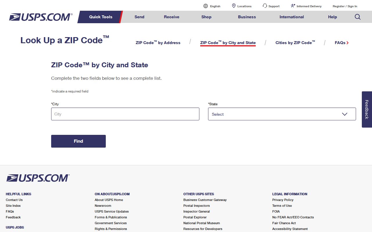
Use that result as an address check, then turn to City GIS, County GIS, the Assessor, or the County Clerk for a distinct geographic or records question.
Note: A USPS result verifies a postal assignment for the submitted address, not whether the address lies inside the City of Gallup.
Gallup ZIP Street and Box Difference
A ZIP and ZIP+4 are postal routing tools. The five-digit ZIP identifies a broader postal area; ZIP+4 adds a delivery segment for more precise sorting. A P.O. box ZIP is used for box mail and must not be treated as the physical location of the recipient. A unique ZIP is assigned to a single organization only when USPS designates one. A carrier route is a delivery sequence, not a city boundary or a resident list. The research did not verify a Gallup unique ZIP, carrier-route directory, or a comprehensive box-only ZIP list, so none should be assumed.
- ZIP
- A postal code used to route mail, not a municipal boundary or property identifier.
- ZIP+4
- An added four-digit delivery segment used with a five-digit ZIP for more precise mail sorting.
- P.O. box ZIP
- A postal code associated with box mail; it does not necessarily describe a physical street location.
- Carrier route
- A mail-delivery sequence used operationally by USPS, not a public resident directory.
Use a Gallup ZIP as an Address Check
No official Gallup system found in the research offers a public resident browser by ZIP. A ZIP can still help organize a precise address question when used as a confirmation field, not as a way to build a list of people. After USPS confirms the address, City and County maps can help distinguish city limits, roads, and address points. A tax-account or recorded-document question then uses the exact situs or parcel details rather than a ZIP alone.
- Write the address exactly as received, including house number, directional term, street designation, and any unit.
- Run the exact address through the USPS lookup and save the returned postal detail with the date checked.
- Use the City GIS data page or McKinley County GIS to ask the separate city-limit or address-point question.
- For a taxable parcel, search EagleWeb by situs address or parcel number. Keep the account and legal-description fields with the result date.
- For a recorded land document, take the parcel or legal clue to the McKinley County Clerk counter, phone channel, or a focused request.
Once the exact street is known, the By Street directory has the address-centered record trail. A ZIP should narrow an address check, not replace the address itself.
Gallup EagleWeb Is Not a ZIP Search
McKinley County’s public EagleWeb tax-account search supports account ID, owner name, parcel number, and detailed situs-address controls. The observed form has separate directional fields, a street-name field, a street-designation menu, and a unit field. Its results can be sorted by the portal’s ZipCode value after a search returns results. That sort option is not a ZIP input field or a public ZIP-wide filter. Do not describe it as one.
| Verified EagleWeb field | How it relates to a ZIP question |
|---|---|
| Situs house number and street fields | Search an exact physical address after USPS confirmation; these are not ZIP filters. |
| Parcel number | Connects an already identified tax account to property context; portal instructions say enter it without dashes. |
| Owner name | A discovery field only. It is not proof of a current resident or title. |
Sort by ZipCode | Orders returned records by the recorded ZIP value; it does not create a ZIP-based search. |
| Legal description and account ID | Useful clues for an Assessor or Clerk follow-up when an address record needs verification. |
The tax portal shows prior-year assessment values and cautions that current-year valuation questions belong with the Assessor. It also does not make a taxable-account absence proof that an address is missing. The Assessor reports that roughly 80 percent of county land is Indian Reservation or other nontaxable federal land.
Gallup ZIP Boundaries and City Limits
A postal city label, the City of Gallup boundary, a McKinley County address, a tax-account situs, and a reservation or federal-land context can overlap without being identical. For an exact municipal question, check the City’s City Limits Boundary layer and address-point or road-centerline information. For county or rural addressing, McKinley County GISC maintains GIS and E-911-related address data. Neither map page was verified as a public owner-name parcel viewer.
The National Park Service road-segments resource provides regional New Mexico road context for the Gallup area and is the source for this Gallup postal-reference image.
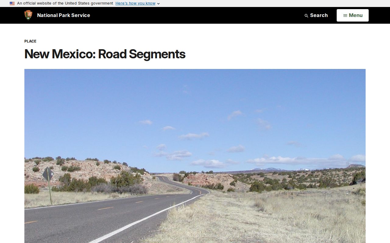
It offers useful Route 66-era geography, but it is not a street-by-street address index and cannot resolve a current ZIP or city-limit question.
Gallup ZIP Records Use Different Custodians
Choose the office by the fact needed, not by the postal label. The City GIS program publishes address points, road centerlines, city limits, zoning, and web-map information. McKinley County GISC handles county GIS and rural E-911 addressing. The County Assessor maintains taxable-property records, while the County Clerk records land documents, maps, plats, surveys, and legal descriptions. A city postal name does not decide which office controls every property or geographic record.
| Question | Most direct confirmed channel |
|---|---|
| Which ZIP serves this written address? | USPS exact-address lookup. |
| Is it inside municipal limits? | City GIS city-limits and address-point layers, with the layer date noted. |
| What taxable parcel is associated with the situs? | McKinley EagleWeb, then Assessor or GIS context if needed. |
| Which recorded instrument covers the legal description? | McKinley County Clerk; no official online grantor-grantee index was verified. |
Note: The appropriate geographic source changes with the question. A postal confirmation cannot substitute for a Clerk instrument, a tax-account record, or a city-limit layer.
Gallup ZIP Context Along the Rail Grid
Gallup’s formal grid grew along the railroad corridor later associated with Historic Route 66. City materials place its railroad founding in 1881, incorporation in 1891, and county-seat status in 1901. That history can help interpret an older address, but it does not supply a modern postal boundary. The historic source did not provide a local street-renumbering crosswalk or a comprehensive ZIP history, so a current or historic address conversion needs a map, plat, directory, or custodian inquiry tied to the precise place and period.
For historical research, pair a dated directory or map with the exact printed street name and type. The Library of Congress holds a digitized 1916 Gallup Sanborn map set, while local library and archives routes can help verify a specific year. Do not transfer an old street label into a present postal directory without first confirming the current delivery address through USPS.
Correct a Gallup ZIP Record Properly
When an address, map, parcel, or postal detail appears wrong, keep a dated screenshot, the exact field, and any account, parcel, instrument, or case identifier. Then contact the source that owns the field. USPS handles postal assignment; City or County GIS handles map and address-layer context; the Assessor or Treasurer handles tax-account or situs details; and the County Clerk handles recorded-instrument index questions. A portal display can be stale or incomplete, so do not treat a typo as title proof or as proof that a person belongs at a location.