
Locate Gallup Neighbors by Block
Gallup has no verified official neighbors directory, public owner-parcel map viewer, or community-membership roster that can answer who lives around a Gallup address. The defensible Gallup method is narrower: use a known address to learn its parcel and map context, then ask the custodian for a specific record if one is needed. Results should stay tied to the source and date. A Gallup property account may describe a parcel, but it does not identify each occupant or establish a current household.
| Block-context source | Question it can answer | Record or layer returned | How to reach it | What remains unknown |
|---|---|---|---|---|
| EagleWeb tax account | Which taxable account matches an exact situs string? | Account, parcel, legal, owner label, and tax context | Free public guest search | Occupancy, household ties, and current title certification |
| Gallup City GIS / Web Maps | Is the address near a mapped road, city limit, or zoning layer? | Gallup address-point, road, boundary, or zoning context | Web-map and GIS-data pages | Parcel ownership or resident identity |
| McKinley County GISC | How is a county or rural address positioned? | E-911 and road-addressing context | County GIS staff or published material | A city street-renumbering history |
| County Clerk | What recorded instrument applies to the parcel? | Deed, plat, survey, legal description, or other recorded document | Counter, phone, email, or focused request | A complete online deed index, which was not verified |
| Gallup City Clerk / IPRA | Does a specified city file exist for an address and date range? | Disclosable Gallup permit, council, or code record | Department channel or records request | A custom dossier or undisclosable material |
The same Gallup separation protects both accuracy and privacy. A nearby Gallup street number can be a location clue. It is not a reason to infer family relationships, mail delivery, or a person’s present location.
Map Gallup Neighbor Context First
Gallup GIS combines E-911 addressing, utilities, infrastructure, buildings, land records, topography, and demographic mapping. Its published data categories include Address Points, Road Centerlines, City Limits Boundary, and Zoning Map. Those Gallup layers are useful for reading the physical shape of a block and for identifying whether a Gallup search belongs with the City, McKinley County, a rural-addressing authority, or another custodian.
Gallup Geographic Information Systems describes the city's mapping role and public resources.
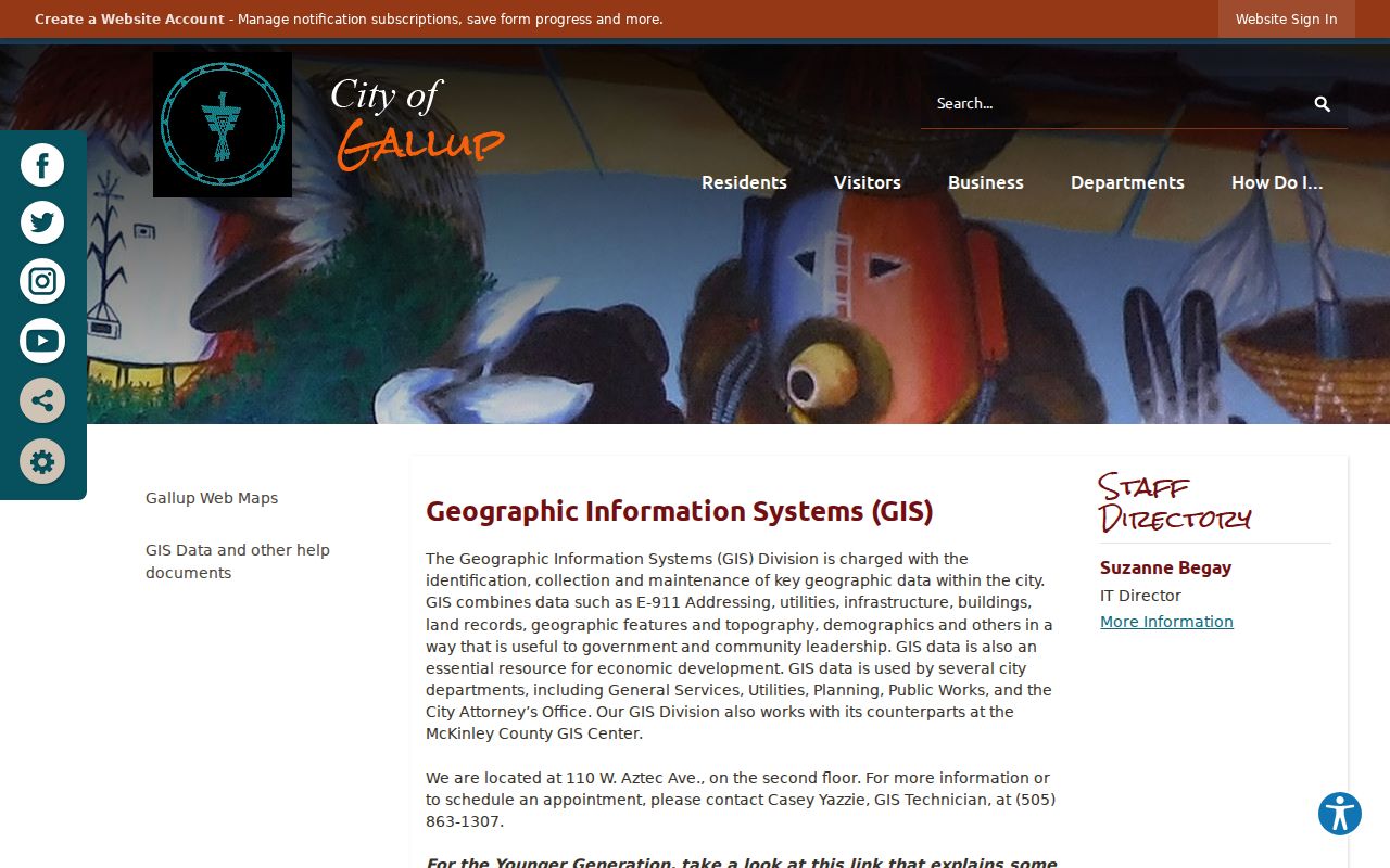
The GIS page supports a geographic reading of a Gallup block. It does not offer a verified public Gallup owner-name lookup, parcel-card interface, buffer tool, or adjacent-parcel control.
Label the layer and date used. Municipal address, postal city label, county address, tax-account situs, and city limit can overlap without being the same jurisdiction. This distinction is especially important near rural, reservation, or federally administered land, where an absent taxable account may be normal.
Trace Nearby Gallup Parcels Carefully
Adjacent-parcel research in Gallup is a records process, not a map feature. No verified public Gallup interface supplies a one-click ring around an address or a list of nearby owners. Start with one exact Gallup situs address, keep the account or legal description from the official tax search, then compare the result with Gallup road, address-point, and boundary layers. When a legal parcel question remains, use the Gallup Clerk's document channel.
- Confirm the delivery spelling with the USPS lookup, while remembering that a ZIP does not establish a city boundary.
- Search the address in McKinley County EagleWeb and record only the account, parcel, legal description, situs, and display date needed for the question.
- Compare the address with the Gallup Web Maps and McKinley County GISC context. Check road location, city limits, zoning, and rural-address rules where relevant.
- Take the parcel and legal-description clues to the McKinley County Clerk for a focused instrument, plat, or survey request. Ask for the record type and date range rather than a broad personal search.
For a named street rather than the immediate block, the Gallup street directory uses the longer address-to-Clerk chain. Keep the block question bounded when the goal is simply to understand the parcels next to one location.
Note: Record the account and legal description with the source date, because a tax display, map layer, and recorded document can reflect different times.
Read Gallup Neighbor Addresses as Records
Gallup physical spaces and record entries do not always line up one for one. A multi-unit building can have several entrances, units, or address points while one legal parcel carries the land description. A mixed-use site can combine distinct activities within a single Gallup block. Rural spacing, alleys, changed street names, multiple structures, and nontaxable parcels add more gaps. EagleWeb’s unit field and separate directional and street-type controls help refine a Gallup address search, but they do not create a household list.
Do not infer occupancy from a parcel label or an owner field. The research also warns that a tax-account owner, business entity, directory listing, or court-name match does not prove present residence or identity. Keep the result in the narrow category that the official source actually supports.
Note: When an address or parcel appears wrong, save the source, date, and account or parcel identifier, then ask the Assessor, Treasurer, GIS staff, or Clerk that owns the field.
Request a Gallup Block Record Precisely
A Gallup city record can add context only when the request identifies a real series, address, and time period. Gallup publishes building and other permit applications, yet the official Gallup material did not show a searchable permit-by-address history. Code Enforcement also has a public reporting page, not a public case-search index. Direct the inquiry to the record holder instead of reading map or tax data as a substitute for a Gallup city file.
Gallup Code Enforcement lists its municipal-code role and public contact channel.
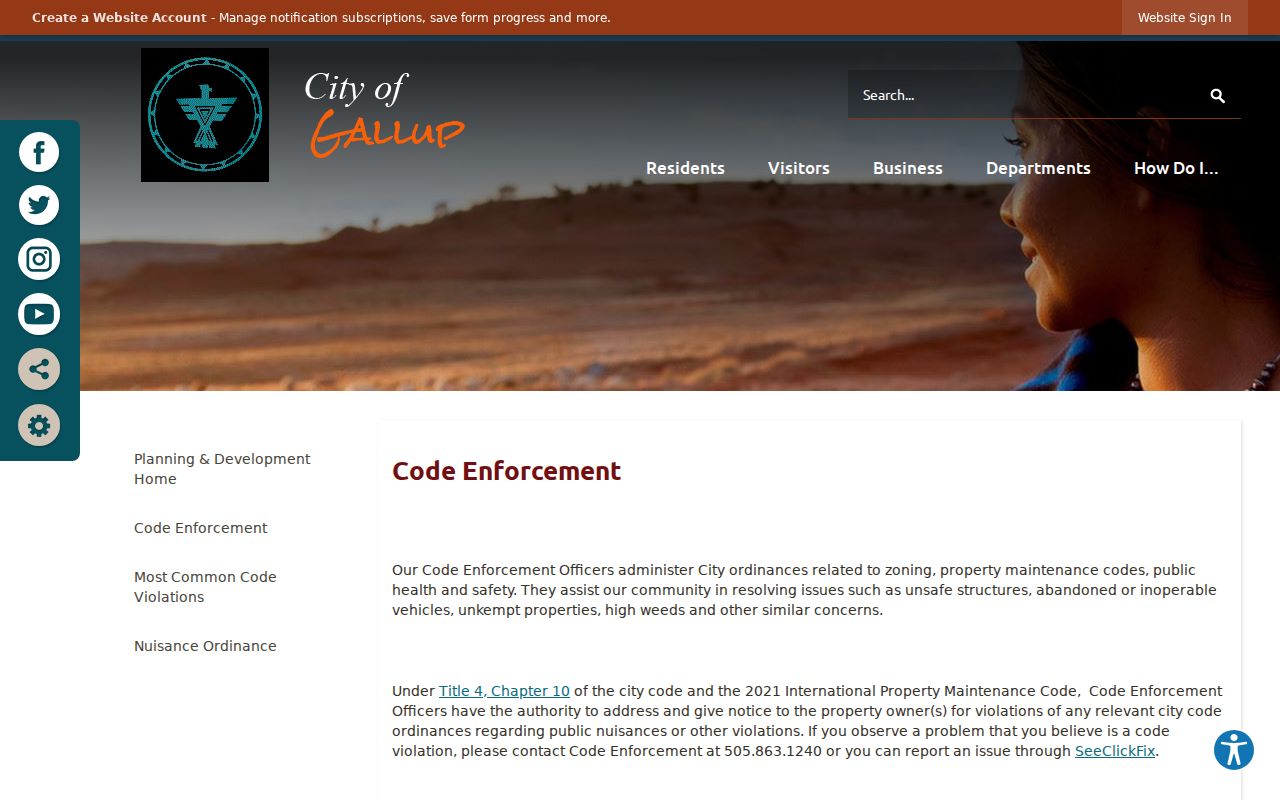
The page is useful for the office's function, while a historical address record still requires a narrow request and statutory review for any protected information.
Gallup's Inspection of Public Records page directs requests to the City Clerk. Written requests identify the requester and the record with reasonable particularity. The city accepts in-person, mail, email, and fax channels. It lists $0.50 for ordinary pages up to 11 by 17 inches and $5 for CDs/DVDs, with other format charges to be confirmed.
Use Gallup Neighbor Context Contacts
No official comprehensive Gallup HOA, neighborhood-association, block-club, or community-membership directory was located. It would be inaccurate to fill that Gallup gap with informal rosters. These official local contacts can instead help route a Gallup map-layer, city-record, or local-history question to the correct place.
City GIS
City Hall, 505-863-1307. Ask which current address-point, road, city-limit, or zoning layer can be inspected for a defined geographic question.
City Clerk / IPRA
110 W. Aztec Ave., 505-863-1254. Use the Clerk for an existing, focused city record such as a specified permit, code file, or council material.
McKinley County GISC
207 W. Hill Ave., 505-863-9517. Contact the county GIS center for county mapping, E-911, road, and rural-address context.
Octavia Fellin Public Library
115 W. Hill Ave., 505-863-1291. Ask staff about dated local-history, map, and address-research material; exact directory holdings require confirmation.
Gallup's public staff directory helps route a department contact when a question belongs with the City.
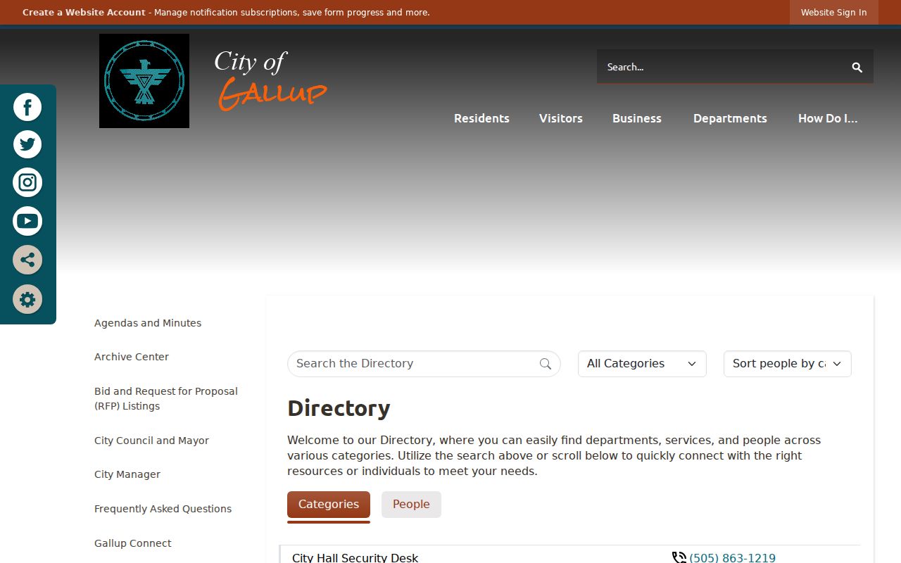
The staff directory is a directory of public departments and contacts, not a neighborhood membership list.
Note: Ask staff for a defined record or current layer, not for an informal list of people associated with a Gallup block.
Compare Gallup Neighbor Search Categories
Official Gallup records and commercial neighbor-finder categories do different things. A custodian source makes its fields, date, and access limits visible. A commercial category may merge sources or present an association without showing the original record. Neither category turns a Gallup property clue into proof that a person currently lives nearby.
| Question | Official custodian route | Commercial neighbor-finder category |
|---|---|---|
| Where is the mapped address? | City or County GIS layer, dated and sourced | May display a map without the governing layer or date |
| What parcel or recorded document applies? | EagleWeb, Assessor, and County Clerk with the legal description | May combine old or unexplained associations |
| Is a city file available? | City Clerk or department records request | Cannot replace the city's responsive-record review |
| Who is at an address now? | No Gallup official neighbors list was verified | Still requires independent, lawful verification and may be incomplete |
A source's limits are part of the result. Preserve the URL, record date, and what is explicit rather than treating an automated association as fact.
Keep Gallup Neighbor Safety Checks Limited
Public-safety databases are not a way to create a Gallup neighbors list. The state systems have separate coverage and privacy limits. McKinley County did not have a verified public online jail roster in the research. The New Mexico Corrections Department search covers state prison, probation, and parole information, but it explicitly excludes Gallup city and county detention facilities. A result or absence must never be recast as a statement about a Gallup block.
New Mexico Corrections Department Offender Search explains its official name or NMCD-number route and system limits.
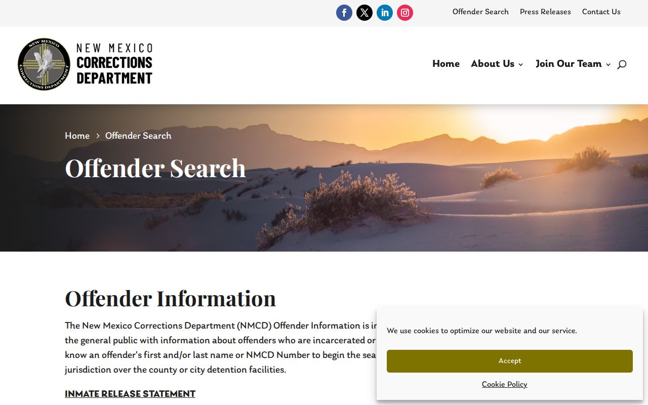
The state search is a bounded agency system, not a substitute for current local-custody confirmation or a way to profile residents around an address.
The New Mexico DPS Law Enforcement Records Bureau describes registry and records-request boundaries.
DPS notes that county sheriffs maintain registration records and that not every registrant is publicly published. Use the responsible agency for a limited safety question and do not make all-clear claims from an incomplete display.
Use Historic Gallup Block Context
The 1916 Gallup Sanborn map can help place Gallup streets and structures in a historic period. It cannot produce a complete household roster, establish a current occupant, or resolve a modern Gallup parcel boundary. Pair a map sheet with a dated directory item, a Gallup Clerk plat, or a library source before reaching a historical conclusion.
Gallup's formal wide grid grew along the railroad corridor that later became associated with Historic Route 66. That context can explain why a block looks as it does. It does not justify assigning a sensitive community affiliation to anyone based on a name, neighborhood, or address.
Note: A historic map is strongest when paired with a dated source that identifies the same place without turning history into a present-location claim.
Protect Gallup Neighbors and Privacy
Gallup neighbor research should stop at the boundary of the question. Do not publish or compile children’s information, full birth dates, personal phone numbers, financial balances, household composition, protected addresses, sealed material, or sensitive case details. A same-name result, an old Gallup address, or an unconfirmed association is not a basis for confrontation or an accusation.
New Mexico Safe at Home provides eligible people with a substitute address and mail forwarding. Voter data and court, vital, and public-safety materials have their own protected fields and access rules. When a record is unavailable, use the official channel that governs it. Do not seek a workaround through another database or a map layer.
Lawful use. Gallup neighbor research is limited to lawful, proportionate purposes. Do not use any address, map, or records result to stalk, harass, intimidate, dox, or harm another person.